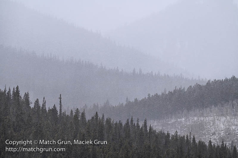
This winter, we have had several snow storms in the Denver area, with the mountains receiving even more storms. A couple of weeks ago, I decided to head into the mountains, near South Park, where I hoped to experience some storm action! Heading out on highway 285, as I approached Bailey, the storm was dumping snow on the mountains south of the town. I left the highway to find a location above the town that offered a clear view to the south. The soft filtered sun lit up some snow clouds in the valleys to the south.
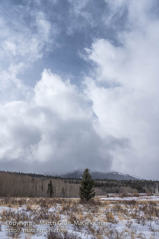
Rejoining the highway, I headed up Kenosha Pass and on towards to South Park. At Como, I left the highway to join the dirt road that leads to Boreas Pass. At this point, there was some clearing of the clouds that allowed the blue sky to peek through. Stopping there, I made the following image.
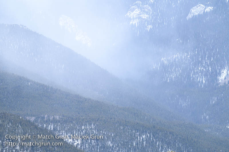
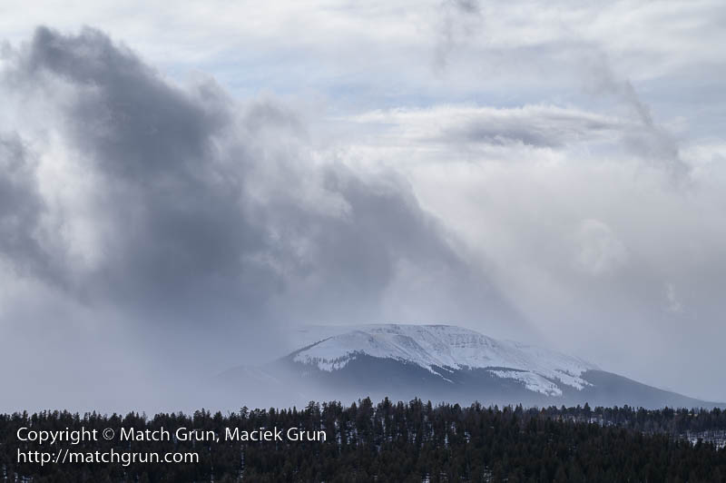
For grins, I decided to head towards Boreas Pass for some more exploration. At the base of the pass, the road was closed for the season — typically this would be from November through to May. Boreas Pass was once the route of the narrow gauge railroad that connected the mountain mining town of Breckenridge to Como. Stopping at the roadside, I made this image. The falling snow progressive reduces visibility into the distance. This results in a nice layering of the mountain ridges receding into the distance.
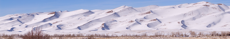
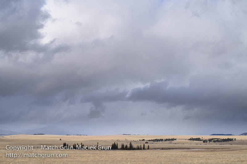
Heading back, I rejoined highway 285 and headed south. There are large areas of South Park that did not have snow covering the ground. The mountain grasslands had turned into a pale yellow, as in this image. It was great to see the contrast between the yellows and blues whenever a patch of blue sky opened up in the clouds overhead.
Looking back towards the west, a snow storm was raging near Weston Pass.
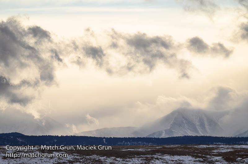
Soon it was time to head back. I made my way towards Hartsel and Fairplay. Along the road was a sign to Tomahawk State Wildlife Area, that is located on a ridge above the park. This needed some more exploration, so I headed up the dirt road. By this time the sun was getting low, close to sunset. From this location, I could make out the Collegiate Peaks in the far distance. A the sun dropped lower in the sky, the clouds started turning yellow from the setting sun.
A few minutes later I started to head back. From this point, I was driving in light to heavy snow for most of the journey home.