Continuing with my recent trip to California in December… Leaving Monterey, I headed to Salinas and then to Paso Robles along Highway 101. While driving, I noticed that the coastal range was covered with snow from the previous night’s storm. From here, I made my way east to Highway 99 and down to Bakersfield. Much of the journey was under overcast skies.
The next morning, I made my way towards Lake Isabella. Highway closed due to snow. So I headed south and joined Highway 58 to Techachapi. After a few miles, I encountered line of semi’s several miles long in both lanes. Eventually, I managed to leave the highway, returning to Bakersfield to join 99 and later I-5. This was an alternate route to Ridgecrest, via Lancaster.
I could now continue towards Death Valley. Along the route are the Trona Pinnacles. Here I stopped to capture in this image.
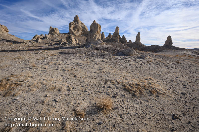
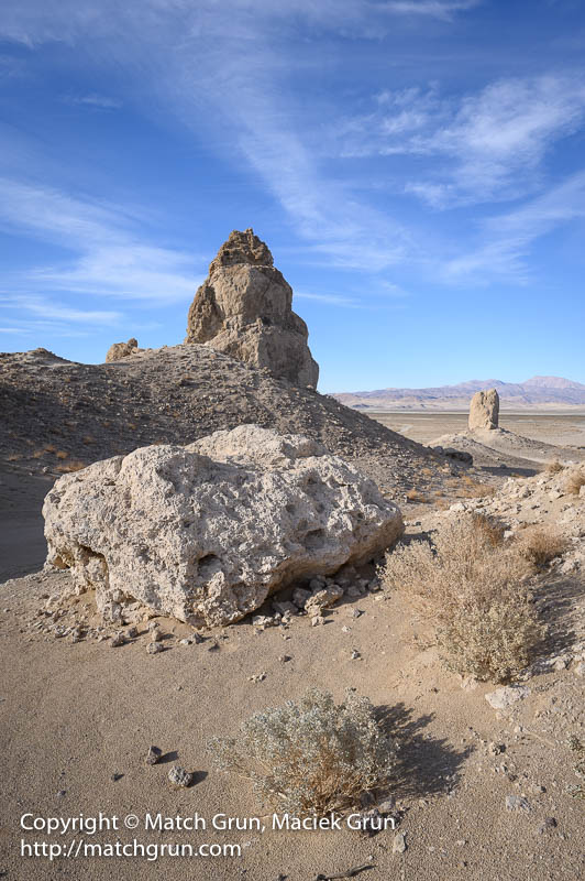
These are remnants of ancient tufas that once formed below a lake in the Panamint Valley.
Eventually, I got to Death Valley via the western entrance at Town Pass. There was low cloud down to ground level and a few inches of snow over the summit; this was the result of the same storm that had visited Monterey and the Salinas Valley the previous day. Several roads in Death Valley were being cleared of mud that had been washed down by the rain. Several campsites at Furnace Creek were under water. Fortunately, the one I had reserved was not affected. There must have been several cancellations or abandoned plans, as many previously reserved sites were now vacant.
The next day, I visited several familiar areas. The playa, which always seems to have water during the winter, was very muddy!
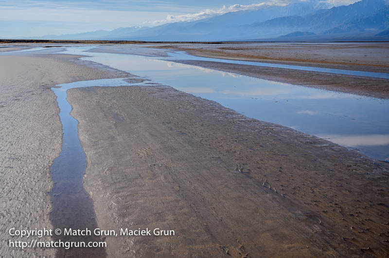
But worth cleaning muddy boots later!
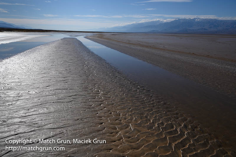
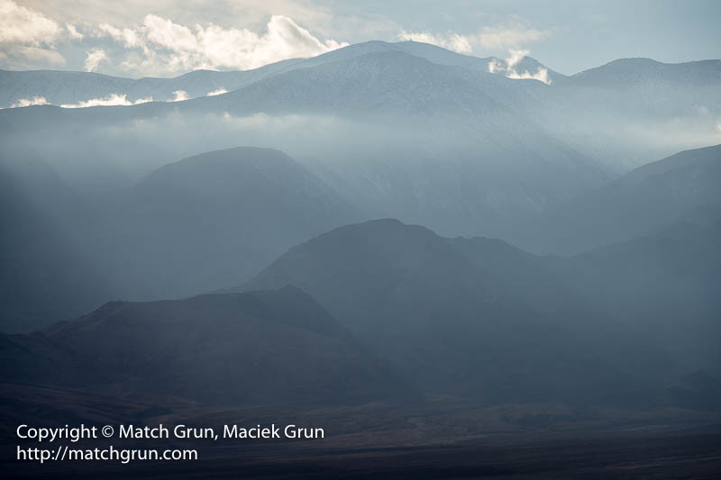
During the afternoon, I made my way to Artist’s Palette. The low clouds had been hanging over Telescope Peak and the Panamint mountain range for much of the day. However, the backlit mountains and clouds made for some spectacular stormy scenes.
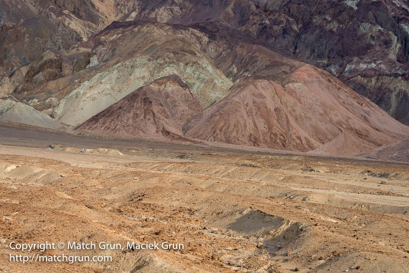
I made several stops along Artist’s Drive, making images of the colorful rock formations that give Artist’s Palette its’ name.
There was even a couple having their wedding photo session taken along the route.
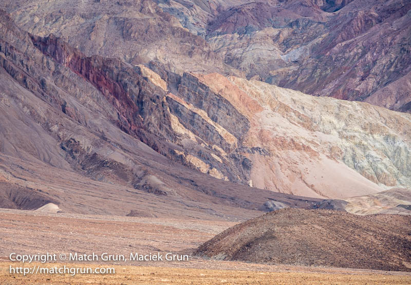
This is the final image before the sun set over the Panamint mountain range for the day.
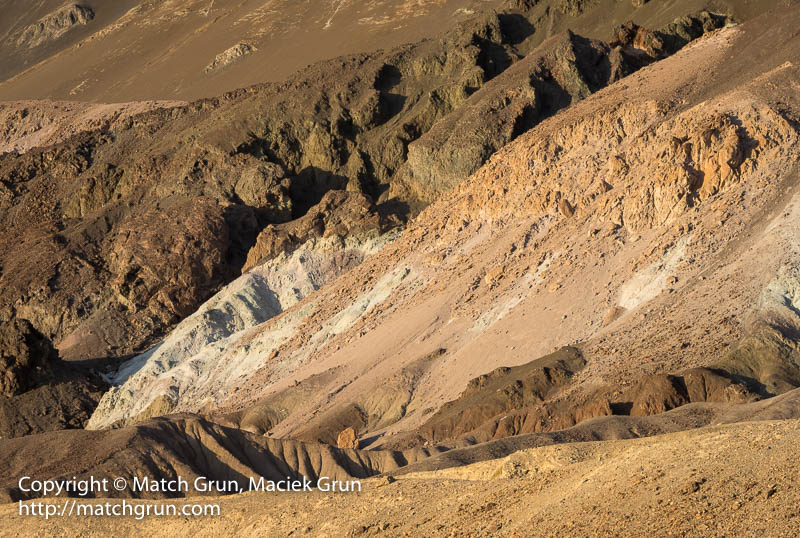
The next morning, I was up early to view the sunrise over the valley. Over the past few years, I have visited this area several times; every visit presents remarkably different scenery.
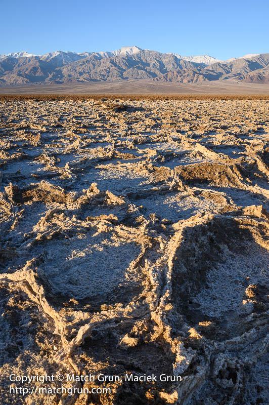
This year, the surface was covered with tall encrusted salt ridges — much different to my first visit.
